The History of White Oak Bayou: From Steamboat Dreams to Greenway Trail
Every Heights resident knows White Oak Bayou as the green corridor that runs along the neighborhood's edge, home to the hike-and-bike trail that connects the Heights to downtown. But this slow-moving waterway has a much older story, one that begins with the founding of Houston itself. Here is the history of White Oak Bayou, from steamboat dreams to greenway trail.
The Waterway That Launched a City
White Oak Bayou begins in northwest Harris County, near the intersection of SH 6 and US 290, and meanders roughly 25 miles southeast before joining Buffalo Bayou at Allen's Landing. That spot matters: it is where the Allen brothers founded Houston in 1836 and 1837, and the bayou's mouth became the original Port of Houston, the head of navigation on the bayou system.
The first steamboat to reach the new city, the Laura, arrived on January 22, 1837. Early river travel was not glamorous. Steamboats on the bayous had to stop frequently to clear logjams and cut back overhanging trees, and the trip from Galveston Bay was slow and uncertain. Still, the bayou made Houston possible, and for decades it was the city's lifeline to the wider world.
The Heights Arrives on the Bayou's Edge
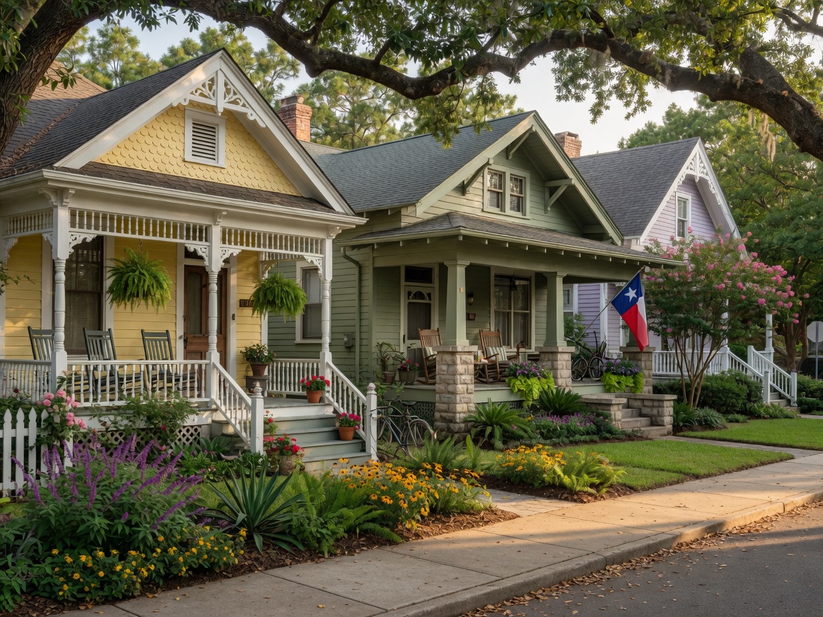
In 1891, developer Oscar Martin Carter and the Omaha and South Texas Land Company laid out the Houston Heights on high ground about four miles north of downtown, roughly 23 feet higher than the city center, with White Oak Bayou forming the neighborhood's southern boundary. It was one of Texas's first planned communities, a streetcar suburb designed by Daniel Denton Cooley, and it was built on the promise that residents could live above the floodplain and commute downtown with ease.
The Heights incorporated as its own city in 1896 and was annexed by Houston in 1918, but the bayou stayed a constant neighbor. Generations of Heights families have picnicked, fished, and played along its banks, even as the waterway itself changed dramatically around them.
Floods and the 1955 Channelization
The bayou's gentle appearance has always masked a serious problem: it floods. After decades of damaging floods, the Harris County Flood Control District channelized White Oak Bayou in 1955, straightening and widening parts of the channel to move water out of the city faster. It was a common engineering solution of the era, and it worked, up to a point.
But development kept spreading across the bayou's watershed, and flood problems worsened again from the 1970s on. The channel alone could not keep up with the runoff from a growing city, and the bayou's future would require a different approach entirely.
The Greenway Era
That approach arrived in the 2010s. The White Oak Bayou Greenway became the first project of the Bayou Greenways 2020 initiative, a $215 million effort to connect Houston's bayous into a citywide network of parks and trails. Ground broke in October 2013 on a new bridge and trail along the old MKT rail corridor, and the Houston Parks Board began building the missing trail links in late 2014.
Progress came in stages: a new trail segment and bridge opened in May 2015, celebrated with a community "Bridge Bash"; a 10-foot-wide concrete trail from Antoine Drive to Alabonson Road opened in July 2015; the Alabonson-to-Hollister segment was completed in January 2018; and in 2018 the trail was finally connected to the Buffalo Bayou trail at the University of Houston-Downtown. Piece by piece, the bayou that once carried steamboats became a greenway for runners, cyclists, and families.
The Heights Hike and Bike Trail
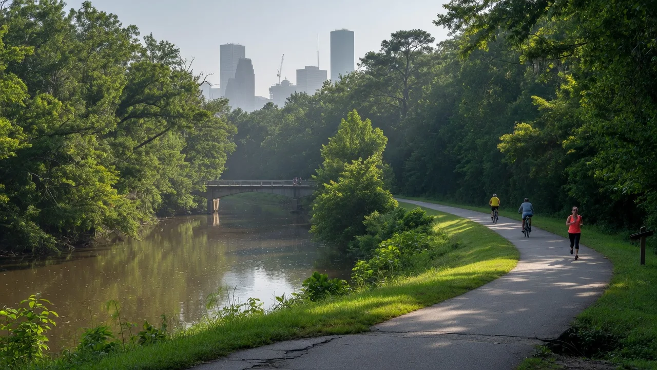
For Heights residents, the most familiar stretch is the Heights Hike and Bike Trail, a paved greenway built on the former Missouri-Kansas-Texas railroad corridor, better known as the Katy line. It runs roughly 4.6 miles along White Oak Bayou from the TC Jester area, through the Heights, to Hogan Street near UH-Downtown, where it meets the White Oak Bayou Greenway. The two trails intersect at three points, which means you can ride from the Heights to downtown without ever sharing the road with a car.
"The bayou that helped launch Houston in 1837 is the same bayou that now carries Heights families downtown on a Saturday morning. That is a remarkable arc for a waterway."
The Bayou Today
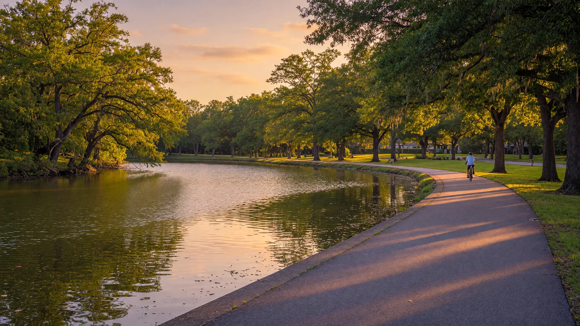
Today the White Oak Bayou Greenway provides more than 18 miles of public greenspace and hike-and-bike trails within city limits, linking the Heights to downtown and intersecting the MKT Trail along the way. It is home to herons, turtles, and the occasional kayaker, and it has become one of the most used outdoor spaces in the city.
The next time you ride, run, or walk along the bayou, take a second to think about what that water has seen: the first steamboat arriving in 1837, the founding of the Heights on its high banks in 1891, the flood channels of 1955, and now the greenway that ties the neighborhood to the city it helped build. White Oak Bayou has been Houston's quiet workhorse for nearly two centuries, and it is finally getting its due.

Shawn Manderscheid
Fourth-generation Houston Heights native. Over 25 years of local knowledge and community connections.